Watershed Services Project
Butterfly Branch Stream Restoration & Interpretive Trail
Project Details
Decades ago, Spartanburg Northside residents used to walk to an old spring for water – a spring that fed a creek, Greenville (now Butterfly) Branch, that winds through most of the city. But sometime in the mid-20th century, growing industrial and development needs led the creek to be covered and piped.
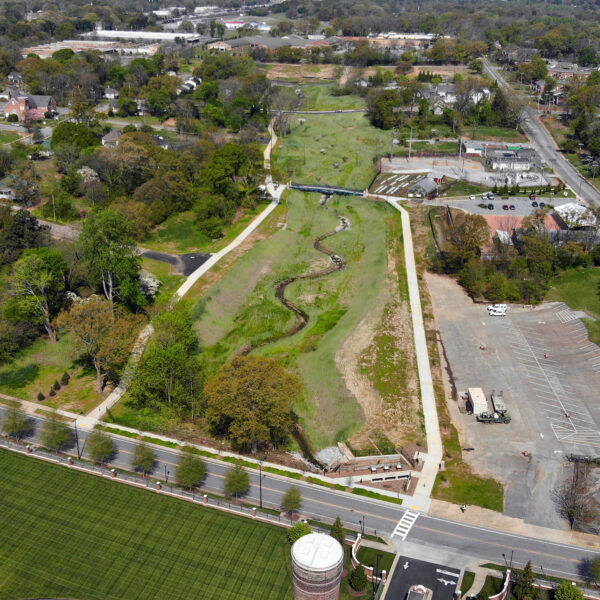
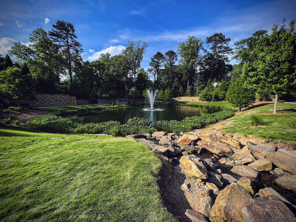
In January 2014, a plan began to “daylight” Butterfly Branch (a 303d listed impaired creek) and restore it back into its natural setting. Along with this restoration came an opportunity to redevelop the area as a defining feature and centerpiece for the local community.
As detailed planning began, a lack of funding put the project’s future in jeopardy. However, this is where good fortune and good planning intersected. During this time the city of Spartanburg was investing heavily in the future of the Northside area and planning to lengthen the runway at the Downtown Memorial Airport to accommodate the area’s development growth. Because the runway expansion entailed piping a creek on the site, federal regulations required the city to mitigate the disturbance. After evaluating almost a dozen alternatives, it was determined that restoration of Butterfly Branch would be the perfect solution to offset the environmental impacts from the runway extension project while simultaneously using a portion of the FAA runway extension grant to pay for daylighting the stream.
Restoration of Butterfly Branch included daylighting approximately 1,125 linear feet of closed drainage system and restoring an additional 710 linear feet of channel. By returning the stream channel to its natural condition, the system can sustain much higher aquatic function and biological integrity than previously existed. Improvements to the upper reach of the Greenville Branch directly enhance downstream conditions. Restoration of the stream by removing segments of pipe and restoring the valley augments flows, increases flood storage capacity, and reduces downstream velocity, shear stress, and subsequent bank erosion and undercutting. Additionally, the project reconnected the stream to its historic floodplain, as well as restored wetlands within it. In addition to providing downstream flood attenuation, this floodplain reconnection provides significant water quality benefits by treating urban runoff from the Northside neighborhood.
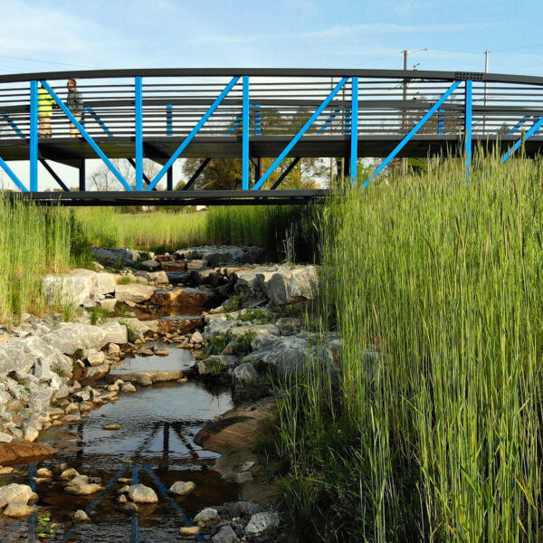
Overall, the project has improved bank stability, water quality, and in-stream/riparian habitat. Because of numerous constraints including utility conflicts, the upstream-most reach includes a series of cascade/pools. The downstream reaches utilize traditional boulder and log grade control structures, natural meander patterns, and aquatic habitat enhancements.
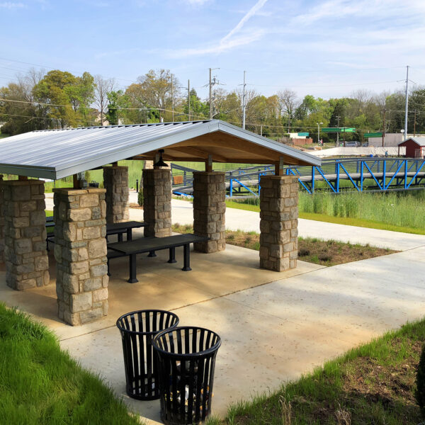
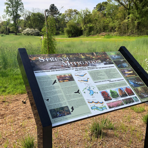
As a result of the city’s effort to redevelop this area, an additional feature to the site was included – a park consisting of public trails, informational signage, and outdoor classrooms. The trail includes a pedestrian bridge that traverses a triple A-vane in the restored stream. In addition to providing pedestrian connectivity, the bridge is an aesthetically-pleasing feature that highlights the importance of water quality within the community.

This project was awarded the Grand Award for Engineering Excellence by the American Council of Engineering Companies of North Carolina.

